The Seohaerang Trail: Mudflats, Not Mountains
Last verified: 2026-09-05. Rules and prices change — always confirm on the official site before you travel.
This page contains affiliate links. If you book through them we may earn a commission at no extra cost to you. It never changes what we recommend.
Seohaerang-gil (서해랑길) runs 1,800 km up Korea’s entire west coast, from Ttangkkeut Tower in Haenam to Ganghwa in Incheon, across 109 numbered courses. It is the longest of the four trails making up the Korea Trail, and the only one built around a single defining feature: the west coast doesn’t really do cliffs and cable cars. It does tidal flats, and a lot of them.
Where it starts, and why that matters
The trail begins at Ttangkkeut Tower, a 10-meter monument at the mainland’s actual southernmost point — the same spot where Namparang-gil, coming up from the south coast, ends. Ttangkkeut means “land’s end,” and the tower sits an 800-meter walk from Ttangkkeut Village along a raised boardwalk.
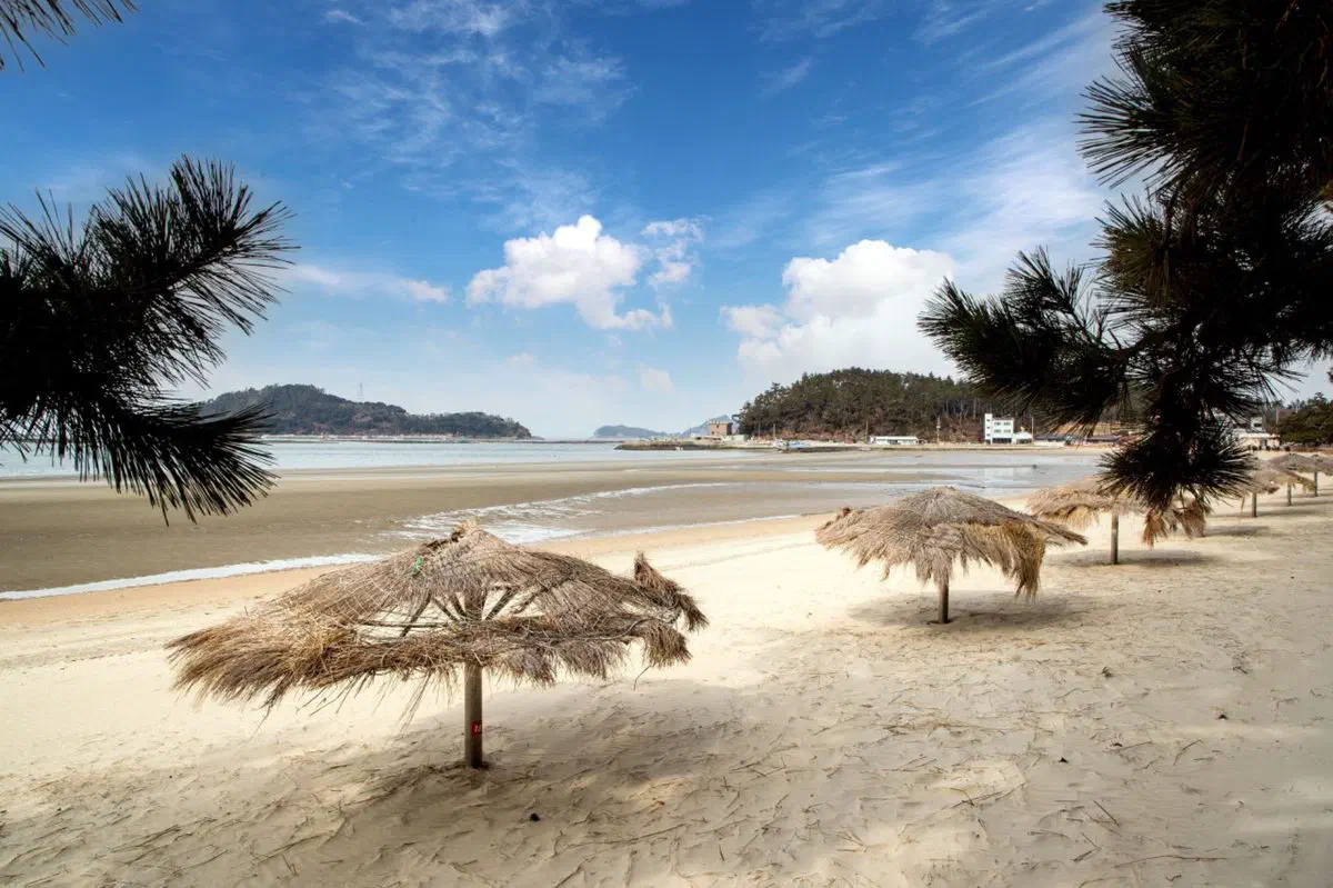
Course 1 runs from the tower itself: Ttangkkeut Tower → Songho Beach → Hwangto-nara Theme Village → Songji Reservoir → Daejuk village → Sojuk village → Songji township office, about 14.9 km and five hours. It passes Songho Beach’s pine treeline and a clear view of Dalmasan across the water — a genuinely scenic opener, and one reason this specific course shows up in Korean hiking blogs more than most of the other 108.
Where the trail concentrates: Taean
If one stretch of Seohaerang-gil deserves a dedicated trip rather than a single course, it’s Taean, which alone holds eleven courses (roughly courses 65–75). This is peninsula geography at its most extreme — inlets, capes and beaches folded into a coastline far longer than a straight-line map suggests, which is also why Taean pairs so naturally with a beach stop; our west-coast beaches guide covers where to base yourself.
The tidal flats are the actual subject
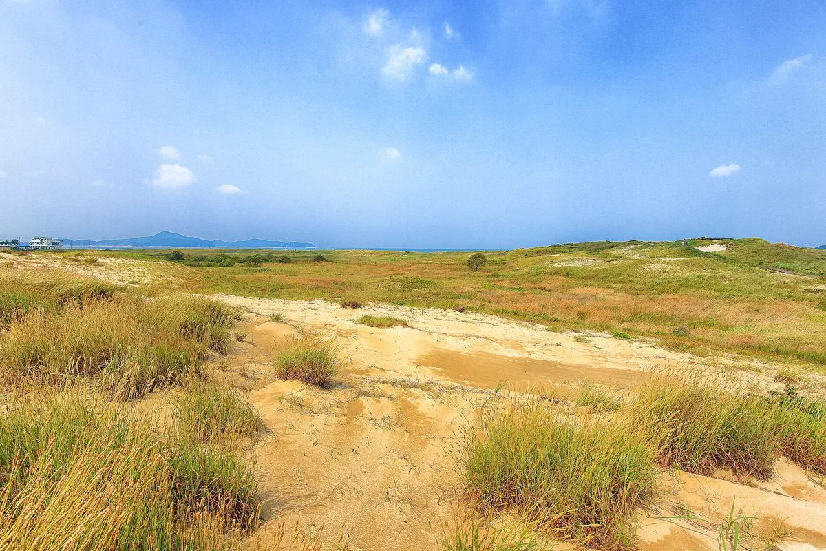
Further south, the Gochang–Gunsan stretch of the trail runs through one of Korea’s biosphere reserve tidal-flat zones — mudflats spreading “like capillaries” between land and sea, alongside the long sand beach locally called Myeongsasimni. This is not scenery on the side of a walking trail; the tidal flat is the trail’s subject in a way no other Korea Trail segment matches, and it is worth planning a stop specifically around a low tide rather than treating the flats as backdrop. Our guide to the tidal-flat experience itself covers how to do that safely.
How Seohaerang-gil differs from its siblings
- Haeparang-gil (east)
- Beaches and coastal cliffs — the scenic, photogenic sibling
- Namparang-gil (south)
- Islands and fishing ports — the maritime one
- Seohaerang-gil (west)
- Tidal flats and low horizons — the one where the sea itself changes shape twice a day
None of that is better or worse than the others — it’s a genuinely different coastline, and choosing among them should come down to which of those three descriptions actually sounds like your trip.
Getting there and finding your way
The official Durunubi app carries GPS-tracked course maps and an electronic stamp tour for all four Korea Trail routes — worth installing before you start, since trail ribbons on the ground are sometimes sparse between waymarker posts. A Korean eSIM keeps it usable offline-adjacent the whole way; our map app guide covers the rest of what you’ll want installed. Most individual courses connect to a KTX or intercity bus stop at one end — our intercity bus guide covers booking a seat out to the coast.
Stays around Gunsan work if you’re doing the Gochang–Gunsan tidal-flat stretch specifically; Taean and Haenam themselves have their own small hotel and pension stock nearer the trailheads at the other ends of the trail.
Quick answers
How long is the Seohaerang Trail?
Where does the Seohaerang Trail start?
What's a good first course to try on Seohaerang-gil?
How is Seohaerang-gil different from Haeparang-gil or Namparang-gil?
Checked 5 September 2026. Trail length, course count, and the Ttangkkeut Tower start point from Durunubi’s official Seohaerang-gil introduction and course listing. Ttangkkeut Tower’s height, coordinates and its role as the Namparang-gil terminus are corroborated across Korean travel reporting on the site. Course 1’s route and distance from Durunubi’s own course listing and Korean hiking-blog course reports. The Taean cluster (roughly courses 65–75) and the Gochang–Gunsan tidal-flat biosphere reserve section from Korea Tourism Organization regional trail write-ups. Haeparang-gil and Namparang-gil’s length and course counts from Durunubi’s own trail pages. Course conditions and waymarking change — confirm on Durunubi before you set out.