Bukhansan Hiking: Which Trail, and What Comes After
Last verified: 2026-08-27. Rules and prices change — always confirm on the official site before you travel.
This page contains affiliate links. If you book through them we may earn a commission at no extra cost to you. It never changes what we recommend.
Bukhansan hiking is the rare kind that most visitors could do without ever leaving Seoul’s subway map. That is also why it draws more foreign hikers than any other in-city peak in the country — no flight, no intercity bus, just a train to one of four entrances and a granite summit with the whole city laid out below it.
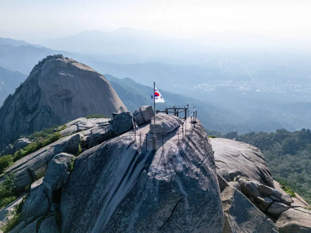
Getting to the right entrance, not just the mountain
Bukhansan National Park rings a cluster of granite peaks with entrances on every side, and which one you use decides which trail you are on. There is no single “Bukhansan station” — you pick a side of the mountain first.
For live conditions and turn-by-turn walking directions once you are on the ground, Naver Map and Kakao Map both cover the trail network in detail — the diagram above is for picking a starting point, not for navigating once you are on the mountain.
Bukhansan hiking routes, from a short walk to the summit
Jokduribong, from Dokbawi Station — beginner. About 2 km one way, roughly 1.5 hours with rests, starting from the Bulgwang Park checkpoint. It does not reach Baegundae — Jokduribong is its own modest peak with a view back over the city, and it is the one to pick if “a mountain” means “a walk with a payoff,” not a summit push.
Gugidong to Daenamun — intermediate. About 2.4 km one way, around 2 hours with rests, from the Gugidong trailhead support center up to the Daenamun fortress gate. This is a taste of the ridge and the fortress wall without committing to the full ascent.
Bamgol checkpoint to Baegundae via the “hidden wall” — advanced. About 4.5 km one way, roughly 3 hours with rests, from the Bamgol Park checkpoint near Guksadang. Steeper and longer than the other three, and the one most likely to need the gloves and poles covered below.
Ui-dong to Baegundae via Doseonsa — the classic. The most-used route to the summit, and the one most first-timers mean when they say “hiking Bukhansan.” About 3.8 km one way, commonly cited at 2 to 3 hours up, past Doseonsa temple and the Harujae ridge, with Insubong’s granite dome standing opposite the trail for most of the climb. Insubong itself is a technical rock-climbing objective, not a hiking summit — the bare granite face is for climbers with rope and permits, not for anyone on the walking trail beside it.
If a hanok stay in central Seoul is part of the plan, Ui-dong is a straightforward subway ride from either Bukchon or Seochon — close enough to hike in the morning and be back for dinner.
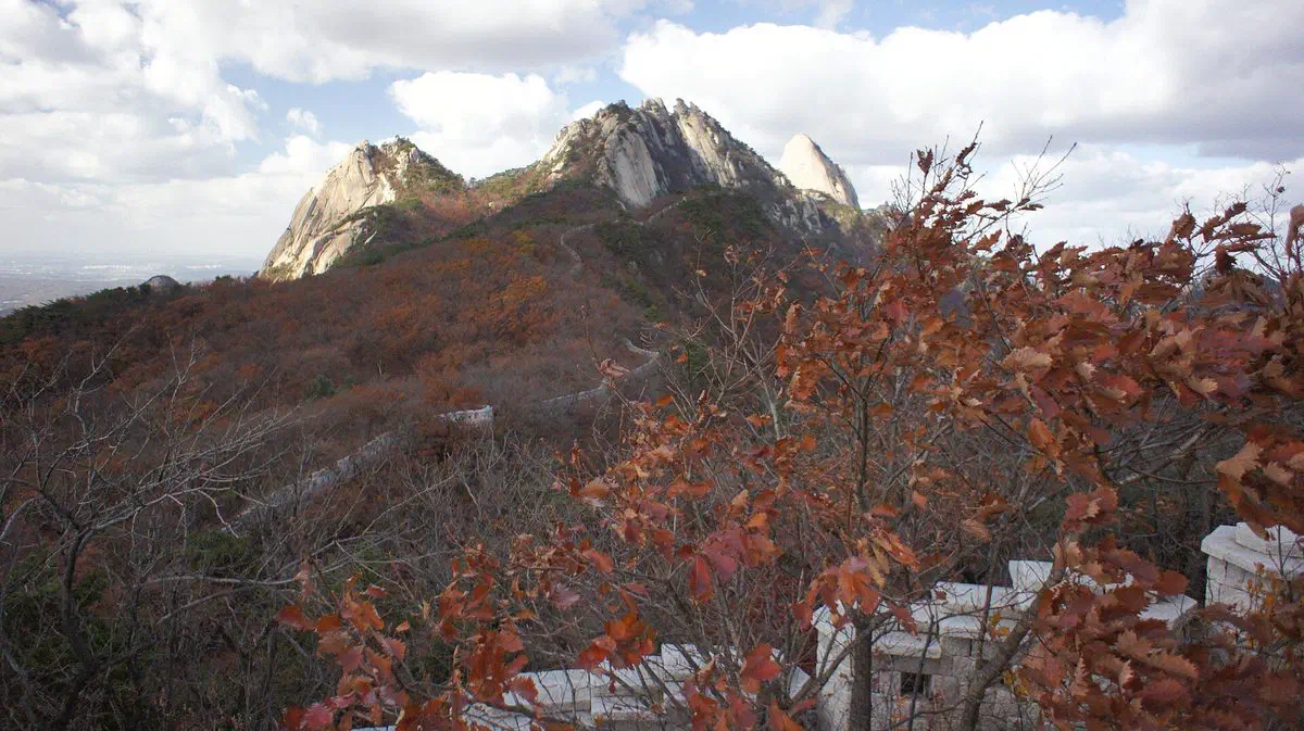
None of the four courses charge admission. Korea’s national parks dropped entrance fees in January 2007, Bukhansan included.
Gear — buy more than you rent
Bukhansan does not really have rental counters at the trailhead the way ski resorts have rental counters at the lift. What it has instead is a genuine cluster of hiking-gear shops around Ui-dong and neighboring Suyu — Baekun Sports right in Ui-dong, plus several more a stop away on the Ui LRT — and the culture there leans toward buying rather than borrowing. A pair of crampons for winter ice runs roughly ₩20,000–40,000, cheap enough that most hikers just own a pair rather than rent one for a single trip.
If you specifically want a rental rather than a purchase, national outdoor rental services exist and cover Bukhansan among other mountains, but they work by advance booking and pickup, not a same-day walk-up counter — book before you go if that is the route you want, not after you arrive at the trailhead.
What people eat after coming down
Korean hiking culture has a name for the meal after a mountain — hasanju, “the drink after the descent” — and Bukhansan’s entrances are built around it. The standard order is acorn jelly (dotorimuk) and scallion pancake (pajeon) with a bowl of makgeolli, sold at simple tables right where the trails let out.
Around Ui-dong, near the valley entrance, sit long-running spots serving whole braised chicken (baeksuk) and duck soup to groups coming off the mountain, plus soft-tofu restaurants for a lighter option after the climb.
Around Gugidong, a decades-old hand-tofu restaurant sits just before the tunnel, and a nearby spot known locally for acorn jelly and potato pancakes puts its tables outside for exactly this purpose — a bowl of makgeolli with your boots still on.
Before you check the weather, check the clock
Every Korean national park runs a seasonal entry cutoff, not a reservation system — trails simply stop admitting new hikers after a set time so nobody is caught on the ridge after dark. On Bukhansan that is roughly 14:00–15:00 in winter and 15:00–16:00 in the warmer months, tighter on the longer courses. Start earlier than you think you need to, especially on the advanced route.
Three more things worth knowing before you go:
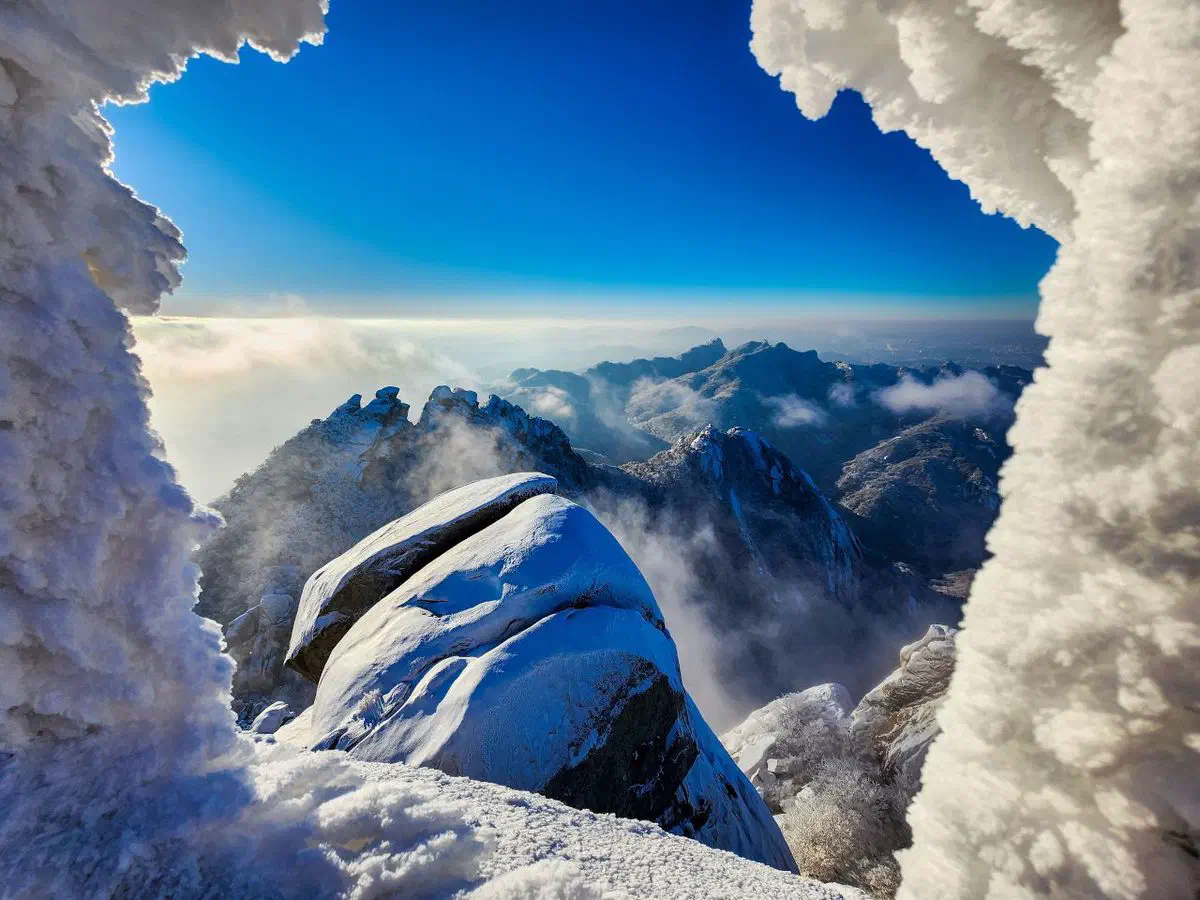
- Weather turns faster than the forecast suggests on an exposed granite ridge — wind and cloud at the summit can be a different day from the trailhead.
- The rock is the hazard, not the elevation. Bukhansan’s granite slabs get slick when wet, and several sections use fixed ropes for support — grip matters more than fitness.
- Cell coverage is generally fine — this is still inside Seoul’s signal footprint — but a Korean eSIM installed before you go means you are not hunting for a signal at the one moment the trail forks and the map app needs to load. Our guide to getting around Korea covers why that matters more than which app you use.
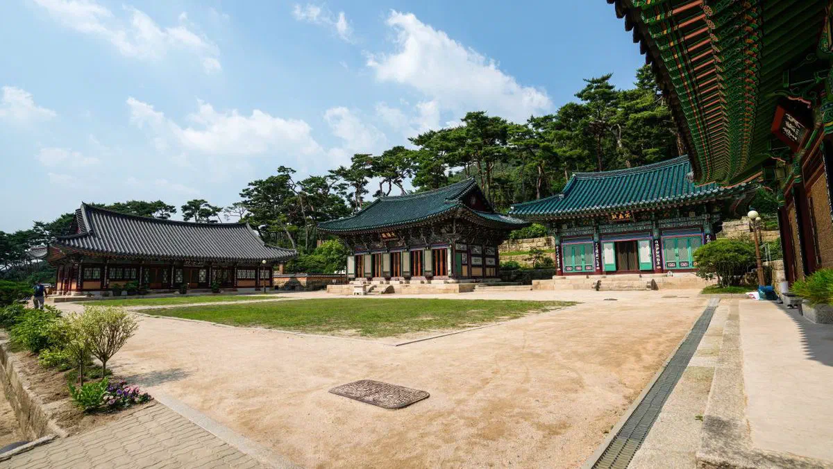
If reading a trail map is not how you want to spend the morning, a guided Bukhansan hike does the route-finding for you and ends at a traditional sauna rather than a plate of pajeon.
The short version
- Entrance fee
- None — abolished nationwide in January 2007
- Beginner
- Jokduribong from Dokbawi Stn. — 2 km, ~1.5 hr, no summit
- Intermediate
- Gugidong to Daenamun — 2.4 km, ~2 hr
- Advanced
- Bamgol checkpoint to Baegundae — 4.5 km, ~3 hr
- The classic
- Ui-dong/Doseonsa to Baegundae — 3.8 km, ~2–3 hr, most popular
- Insubong
- Technical rock climbing only — not a hiking summit
- Gear
- Buy near Ui-dong/Suyu rather than expect a rental counter
- Last entry
- Roughly 14:00–15:00 winter, 15:00–16:00 summer — starts vary by course
- After the hike
- Dotorimuk, pajeon and makgeolli at the trailhead villages
Bring water, start early, and treat the last-entry cutoff as a real deadline rather than a suggestion — the rest of the mountain is more forgiving than that one detail.
In the same trip
Other museums within reach
- National Museum of Korea — Yongsan, Seoul, about 11 km away.
- Sihwa Tidal Power Moon Observatory — Daebudo, Ansan, Gyeonggi, about 49 km away. Sea and ecology rather than history.
Festivals near here
These run on their own dates, so check them against yours before you build a route around them.
- Moonlight Tour at Changdeokgung Palace — September, about 5 km away.
- King Jeongjo's Royal Parade — October, about 5 km away.
- Yeon Deung Hoe — May, about 6 km away.
- Yeongdeungpo Yeouido Spring Flower Festival — April, about 12 km away.
- Gangdong Prehistoric Culture Festival — October, about 14 km away.
The coast from here
- Muuido and the West Coast Beaches — Muuido, Jung-gu, Incheon, about 60 km away.
Filmed near here
- KPop Demon Hunters — Namsan, Yongsan-gu, Seoul, about 8 km away.
- Seoul Drama Filming Locations — Itaewon, Yongsan-gu, Seoul, about 10 km away.
Quick answers
Does Bukhansan cost anything to enter?
Which Bukhansan trail should a beginner hike?
Can I rent hiking gear at Bukhansan?
Is there a curfew or entry cutoff for hiking Bukhansan?
Checked 27 August 2026. Foreign-visitor ranking among Korean national parks and Bukhansan’s place in it from current Korean and English travel reporting on the “K-hiking” trend. Course distances, times and difficulty for the beginner, intermediate and advanced routes from Seoul Metropolitan Government’s own hiking guidance. The Ui-dong/Doseonsa route’s distance and time are commonly cited figures rather than a single official source and should be treated as approximate. Entrance-fee abolition (January 2007) and the seasonal entry-time system from Korea National Park Service guidance — exact cutoff times vary by trail and season; confirm on-site before you start late. Gear shop names (Baekun Sports and others near Ui-dong/Suyu) confirmed as currently listed businesses, not rental-specific. Restaurant names and the hasanju food culture from Korean travel and lifestyle reporting on Bukhansan’s entrance villages. Hours, cutoffs and business listings change — confirm before you travel.