Jirisan Hiking: A Valley Reopened After 20 Years
Last verified: 2026-09-10. Rules and prices change — always confirm on the official site before you travel.
This page contains affiliate links. If you book through them we may earn a commission at no extra cost to you. It never changes what we recommend.
Jirisan hiking starts with a mountain that outranks the other three in this series on paper before you’ve taken a step: designated Korea’s first national park in 1967, and still its largest by area at 483 km², spanning three provinces and five counties. Its summit, Cheonwangbong at 1,916.77 meters, is the second-highest peak in South Korea after Hallasan. And one of its most famous valleys spent most of the last twenty years almost entirely closed to the public — until a new reservation system opened it back up in 2026.
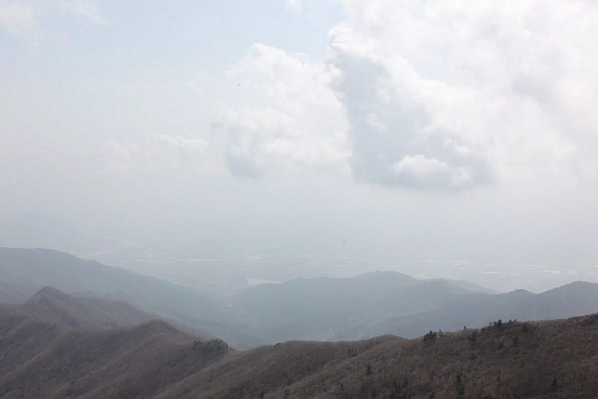
Jirisan hiking’s biggest change: Chilseon Valley reopens
Chilseon Valley (칠선계곡) is one of Korea’s “three great valleys,” alongside Seoraksan’s Cheonbuldong and Hallasan’s Tamna valley — and for most of the 2010s and early 2020s, almost nobody could see it. From around 2008 it ran on a restrictive guided-permit system: only 40 hikers a week, split between two days up and two days down, open only in May–June and September–October.
That changed in May 2026. The park authority now runs a daily reservation system covering 60 hikers a day, May through October, with a 7:00 AM start time, booked through the national park reservation site. The trail still starts at Chuseong Village, in Hamyang County — the first 3.6 km to Biseondam remains open without any booking at all, well-maintained and gently graded.
Past Biseondam, the reservation applies, and the trail gets considerably harder: unmaintained, stream-crossing terrain up to Mapokpo, the last waterfall and last water source at 1,310 meters, then a final 1.4 km that climbs 605 meters — something close to a 35% grade — up steel stairs to the summit. It’s widely considered the hardest single-day route to Cheonwangbong on the whole mountain, reservation or not.
The two standard Gyeongsangnam-do routes to the summit
Jungsan-ri, via Beopgyesa — the fastest and most popular way up. 5.4 km one way, about 4 hours, passing Beopgyesa temple and Rotary Shelter on a steep but short final push. This is also the route locals use for a sunrise hike, and notably the one route on Jirisan that stays open even during the mountain’s spring and autumn closure seasons, when most other trails shut for ecological recovery.
Baekmudong, via the Hansin Valley — the Hamyang County approach. 7.5 km one way, about 5 hours, running up through Hansin Valley rather than past a temple. Slightly longer than the Jungsan-ri route, and noticeably quieter.
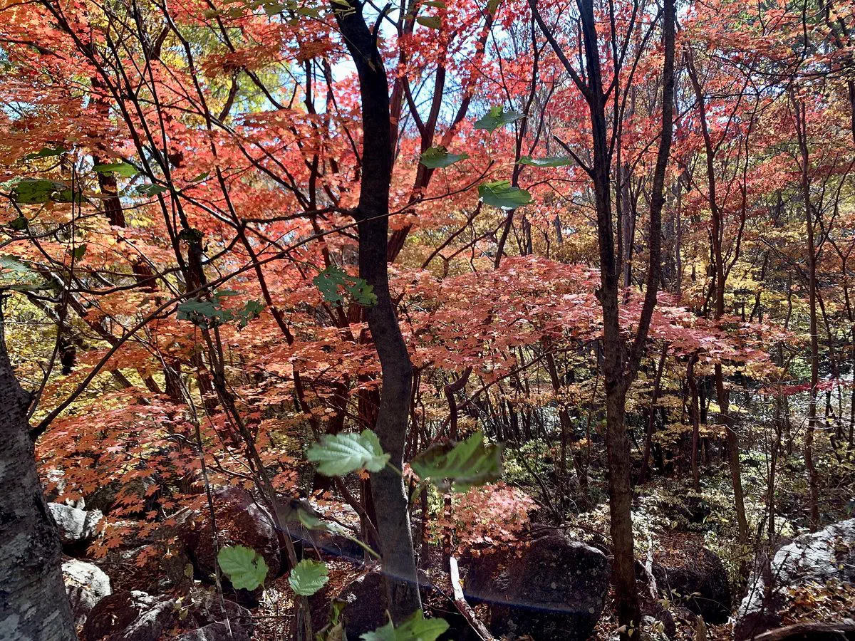
The multi-day ridge traverse, and why the shelters need booking ahead
Jirisan’s classic multi-day hike runs the 25.5 km main ridge, traditionally from Hwaeomsa to Daewonsa (2 nights 3 days to 3 nights 4 days), though most hikers now start at Seongsamjae instead of walking in from Hwaeomsa. The route strings together the mountain’s staffed shelters — Nogodan, Yeonhacheon, Byeoksoryeong, Seseok and Jangteomok — each of which requires its own advance reservation through the same national park booking system used for Chilseon Valley, not a walk-up bed.
Not all the shelters are equal. Seseok is the largest at 190 bunks, sits on an open highland plain, and has easy water access. Byeoksoryeong, despite being one of the bigger shelters at 120 bunks, has the worst water situation on the ridge — the nearest spring is 500 meters below the shelter itself. Jangteomok runs a generator for shared lighting in its main hall, though not at individual bunks. Booking the shelters you actually plan to sleep in, rather than assuming a bed will be free, matters more on this traverse than on any single-day route.
- Cheonwangbong summit
- 1,916.77 m — South Korea’s second-highest peak, after Hallasan
- National park status
- Korea’s first (1967), and its largest at 483 km²
- Jungsan-ri route
- 5.4 km, about 4 hours — fastest route, stays open during seasonal closures
- Baekmudong route
- 7.5 km, about 5 hours — the quieter Hamyang-side option
- Chilseon Valley
- Reopened May 2026 — 60/day reservation, May–October, 7:00 AM start
- Multi-day traverse
- 25.5 km main ridge — shelters need their own advance reservation
Getting there
Jungsan-ri is reachable by a direct express bus from Seoul’s Nambu Terminal (about 4 hours), or by taking a Seoul–Jinju express bus and transferring to a local bus at Jinju or Wonji. Baekmudong has its own direct express bus from Dongseoul Terminal, also about 4 hours. Our intercity bus guide covers booking either route as a foreigner.
A Korean eSIM matters here as much as anywhere in this series — the shelter and Chilseon Valley reservation portals, bus schedules and trail maps all live on your phone, and neither Jungsan-ri nor Baekmudong sits inside a town with much signage of its own. Our guide to getting around Korea covers the map-app basics.
In the same trip
Other museums within reach
- Jinju National Museum — Jinju, South Gyeongsang, about 38 km away.
Festivals near here
These run on their own dates, so check them against yours before you build a route around them.
- Hadong Wild Tea Cultural Festival — May, about 9 km away.
- Gurye Sansuyu Festival — March, about 19 km away.
- Sancheong Medicinal Herb Festival — October, about 20 km away.
- Gwangyang Maehwa Festival — March, about 25 km away.
- Chunhyang Festival — May, about 30 km away.
Quick answers
Is Chilseon Valley open to hikers now?
What's the fastest way to hike Jirisan's summit?
Do Jirisan's mountain shelters need a reservation?
How high is Jirisan's summit?
Checked 10 September 2026. Jirisan’s 1967 designation as Korea’s first national park, its 483 km² area, Cheonwangbong’s precise 1,916.77 m elevation and coordinates, and its administrative span across Hadong, Hamyang, Sancheong, Gurye and Namwon, from Korean Wikipedia’s Jirisan entry, which cites the original 1967 gazette designation. Jirisan’s shelters, their capacities and build years, the classic Hwaeomsa–Daewonsa traverse, and the Jungsan-ri and Baekmudong route distances and times from the same source and Korea National Park Service course guidance. Chilseon Valley’s pre-2026 restrictive permit system (40 hikers a week) and its May 2026 daily reservation system (60 a day, 7:00 AM start, the Chuseong–Biseondam stretch open without booking) from KBS News and Newsis coverage of the policy change. Bus routes and travel times to Jungsan-ri and Baekmudong from Korean transit-blog and terminal timetable sources. Reservation rules, quotas and seasonal closures change; confirm on the national park’s own reservation site before you plan a date around any of this.