Seoraksan Hiking: The Cable Car Is No Shortcut
Last verified: 2026-08-27. Rules and prices change — always confirm on the official site before you travel.
This page contains affiliate links. If you book through them we may earn a commission at no extra cost to you. It never changes what we recommend.
Seoraksan hiking means something bigger than a city mountain, and the trip should be planned like one. It is the second-most-visited park among foreign hikers in Korea, home to the country’s earliest autumn colors, and its highest point, Daecheongbong, is the third-highest peak in South Korea at 1,708 meters. None of that is a subway ride away — the nearest station with a train doesn’t exist yet, and getting there is a bus trip in its own right.
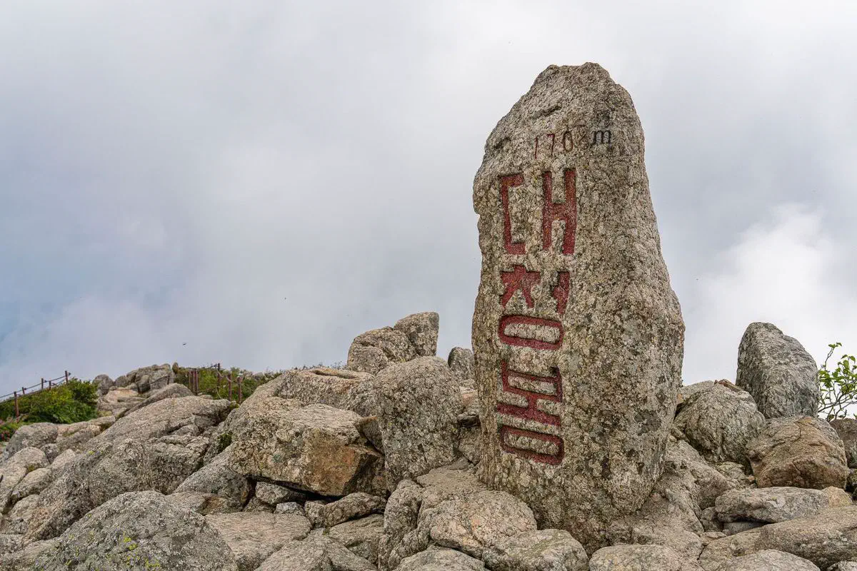
The cable car answers a different question than the trail does
Sorak-dong Small Park, the main entrance, has both a cable car and several trailheads leading out from the same spot — and it is worth being clear about what each one actually does before picking.
For live conditions and walking directions once you are there, Naver Map and Kakao Map both cover the trail network — the diagram above is for deciding which trip you are actually taking.
The cable car: real, but not a shortcut
The Gwongeumseong cable car leaves from Sorak-dong Small Park and climbs to about 700 meters in roughly ten minutes, reaching the old fortress site, not the summit. Round trip costs ₩16,000 for an adult, ₩12,000 for a child, and you buy tickets same-day at the counter — there is no online booking. It runs 09:00 to 17:30.
A second cable car, from Osaek up to Kkeutcheong, has been under construction for years and is not running as of this check — expected around 2029. If a guide mentions a second cable car, it is not open yet.
Seoraksan hiking routes to Daecheongbong, and the one that isn’t
Cheonbuldong Valley, from Sorak-dong — the main route. About 11 km one way, roughly 6 hours 40 minutes, in three legs: Sorak-dong to Bisondae (3 km, 1 hr 20 min), Bisondae to Huiungak shelter (5.5 km, 3 hr 10 min), and the shelter to the summit (2.5 km, 2 hr 10 min). This is the route most day hikers mean by “climbing Seoraksan,” and it needs an early start to be down before dark.
Osaek, from the south — shortest, steepest. About 5 km one way, roughly 4 hours, almost entirely stone steps with over 1,300 meters of elevation gain. Starts from a separate ranger station, not from Sorak-dong.
Hangyeryeong, the western ridge. About 8.3 km one way, roughly 5 hours 20 minutes, starting from a ranger station already at 1,004 meters — less climbing, more ridge walking with open views.
Ulsanbawi — not to the summit, and worth doing anyway. About 7.6 km round trip from Sorak-dong, roughly 4 hours, past Sinheungsa temple and the Heundeulbawi rocking rock. The last stretch is 808 steel steps bolted to the rock face. It ends at a granite ridge with a view back over Sokcho and the coast, not at Daecheongbong — a different destination, not a shorter version of the same one.
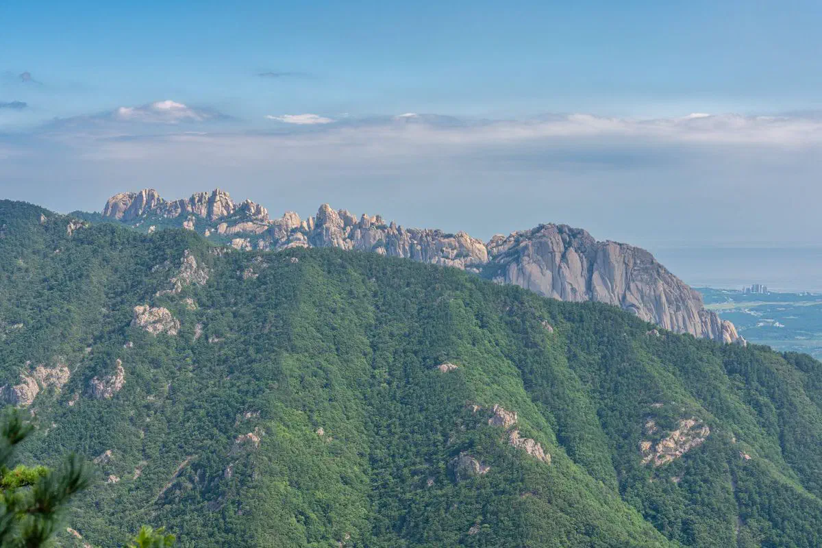
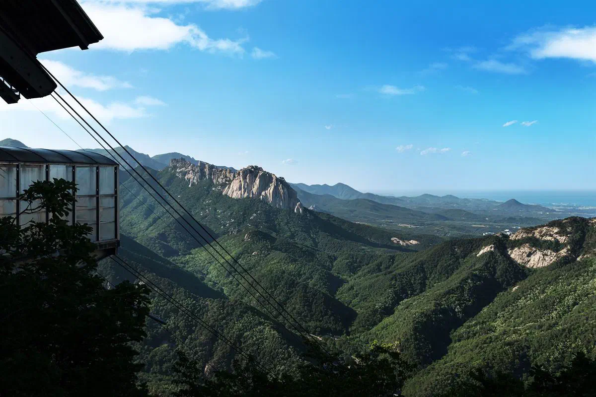
Sinheungsa used to charge a fee that has nothing to do with the park
Seoraksan National Park itself has been free to enter since 2007, like every Korean national park. Until May 2023, though, Sinheungsa temple — which several of these trails pass directly through, cable car included — charged its own separate cultural-property viewing fee, collected even from hikers who never intended to visit the temple itself. An amended cultural property law abolished that fee nationwide in May 2023. If an older guide mentions paying at Sinheungsa, that is why — it no longer applies.
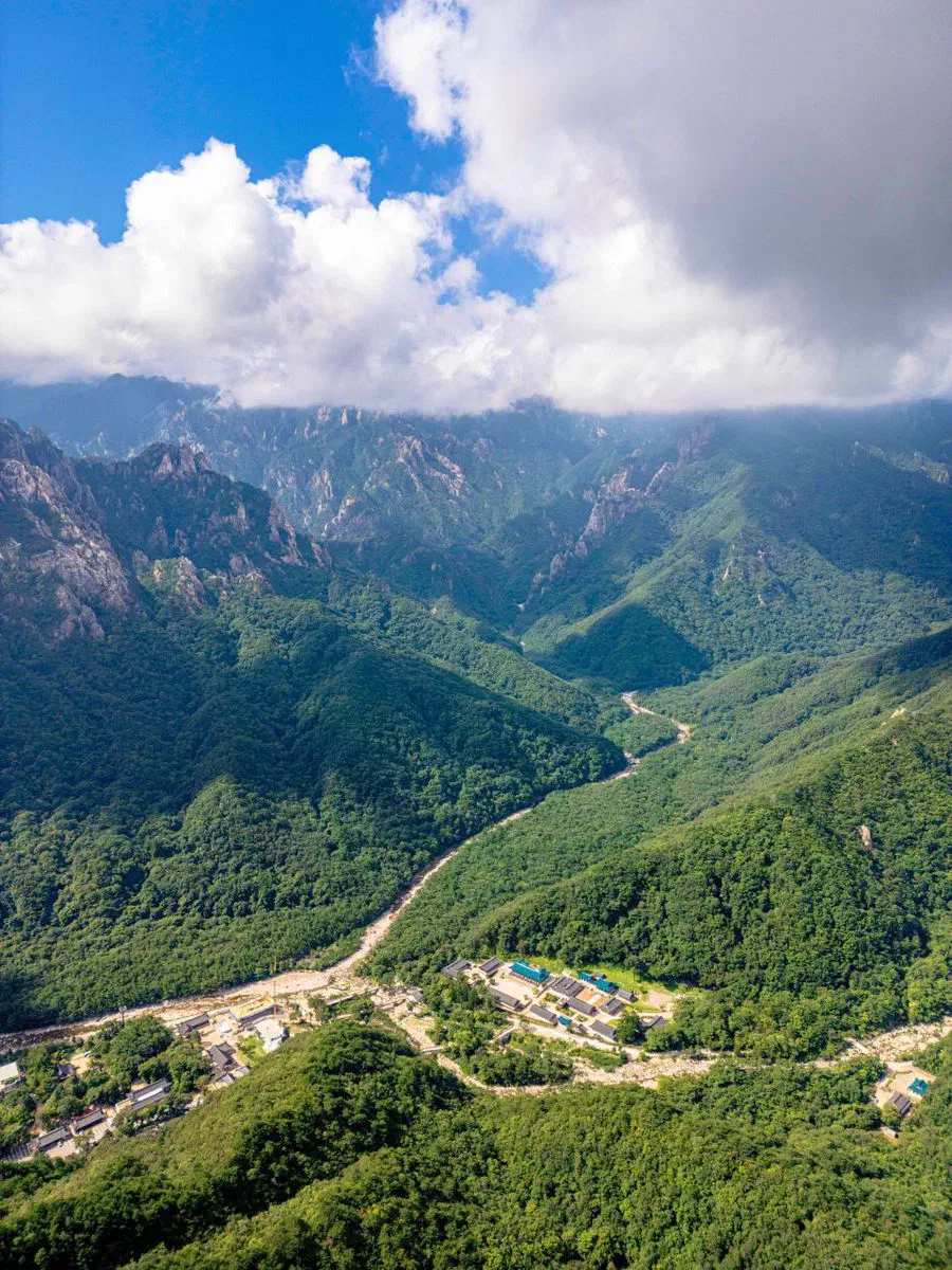
Gear and food in Sorak-dong
Sorak-dong is a small tourist village that grew up around the park entrance, not an outdoor-gear district the way Seoul’s Ui-dong is — pack crampons and poles before you arrive rather than counting on finding a rental counter at the gate. Sokcho city, a short bus ride away, has the wider selection if you need to buy something last-minute.
Food follows the regional pattern rather than a hiking-specific one: sanchae jeongsik (a set meal built around foraged mountain vegetables) is the standard order near the entrance, and Gangwon’s own specialty, hwangtae (wind-dried pollock), shows up on menus throughout the area. One mountain-vegetable restaurant near Sokcho, 점봉산산채, is well known specifically for the sanchae version of the meal.
What actually closes, and when
Two separate systems restrict access, and they are not the same thing.
Seasonal fire-prevention closures shut the Daecheongbong routes entirely, for weeks at a time, twice a year — roughly early March to mid-May in spring and a shorter window in November — the park office sets and publishes the dates annually. This is not a minor restriction: for those weeks, the summit routes are closed outright, not just time-limited.
Entry-time cutoffs apply the rest of the year, tightening in winter and loosening in summer, to make sure nobody starts a route they cannot finish before dark. The Korea National Park Service publishes both systems on its site before each season — check before you build a day around Daecheongbong specifically, since it is the route most affected by both.
Huiungak shelter, the overnight stop on the Cheonbuldong route, takes reservations through the park service’s own booking system, first-come first-served when the window opens — worth sorting out in advance if the plan is two days rather than one very long one.
Autumn is not a suggestion here
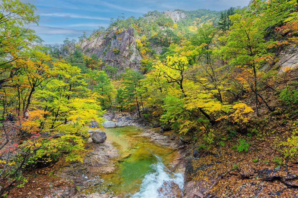
Seoraksan turns before anywhere else in Korea, and the window is genuinely short. Color typically starts at Daecheongbong’s summit in late September, works down the mountain, and reaches Cheonbuldong Valley by mid-October — the first two weeks of October are usually the safest bet for the valley views most photos are taken from. A week either way changes what you see, the same way it does for cherry blossoms in spring.
A Korean eSIM is worth having installed before the bus leaves Seoul — Sorak-dong is well outside the kind of dense coverage a city trip takes for granted, and our guide to getting around Korea covers why that matters more than which map app you use.
If planning the transit, the trail, and the timing yourself is more than the trip is worth, a guided Seoraksan day tour from Seoul covers Sinheungsa and the cable car with the schedule already worked out.
The short version
- Entrance fee
- None — free since 2007, and Sinheungsa’s separate temple fee was abolished May 2023
- Cable car
- Gwongeumseong, ₩16,000 round trip adult, no online booking, 09:00–17:30 — reaches 700 m, not the summit
- Osaek cable car
- Under construction — not running, expected around 2029
- Shortest route to the summit
- Osaek, 5 km one way, ~4 hr, steep stairs
- Main route to the summit
- Cheonbuldong from Sorak-dong, 11 km one way, ~6 hr 40 min
- Not to the summit
- Ulsanbawi, 7.6 km round trip, ~4 hr, ends on its own ridge
- Closures
- Spring (~early Mar–mid-May) and a shorter fall window shut Daecheongbong routes entirely
- Best autumn color
- Summit late September, Cheonbuldong Valley by mid-October
Start earlier than feels necessary, check the closure calendar before the season you are visiting in, and treat the cable car as a separate day trip from the mountain rather than a step on the way to it.
In the same trip
Festivals near here
These run on their own dates, so check them against yours before you build a route around them.
- Gangneung National Heritage Night — August, about 57 km away.
- Daegwallyeong Snow Festival — February, about 58 km away.
- Gangneung Coffee Festival — October, about 59 km away.
- Pyeongchang Trout Festival — January, about 60 km away.
Filmed near here
- Gangneung Drama Filming Locations — Jumunjin, Gangneung, Gangwon, about 42 km away.
Quick answers
Does the Seoraksan cable car go to the summit?
Is Seoraksan National Park free to enter?
What's the shortest route to Daecheongbong, Seoraksan's summit?
When does Seoraksan close for fire prevention?
Checked 27 August 2026. Foreign-visitor park rankings and Seoraksan’s place in the “K-hiking” trend from current Korean and English travel reporting. Course distances, times and difficulty for the Osaek, Cheonbuldong, Hangyeryeong and Ulsanbawi routes, and the shelter reservation system, from Korean hiking-route reference sources. Spring 2026 fire-prevention closure dates (early March–mid-May) from the Korea National Park Service’s own Seoraksan office notice; fall closure dates follow the same annual pattern but are set separately each year — confirm before an autumn visit. Cable car price, hours and same-day-only ticketing from the operator’s own site. Sinheungsa’s cultural-property fee and its May 2023 abolition, entrance-fee history, and the Chuncheon–Sokcho rail line’s construction status (delayed to 2029) from Korean-language news reporting. Dates, prices and closures change — confirm on-site before you travel.