Incheon to Busan by Bike: The Logistics
Last verified: 2026-08-08. Rules and prices change — always confirm on the official site before you travel.
This page contains affiliate links. If you book through them we may earn a commission at no extra cost to you. It never changes what we recommend.
Incheon to Busan by bike is a well-marked, well-supported trip that thousands of people finish every year. The riding is the easy part to research — other sites map every kilometer. Harder to find in English is the shape of the thing: how the sections fit, what the government actually publishes, and which decisions to make before you start.
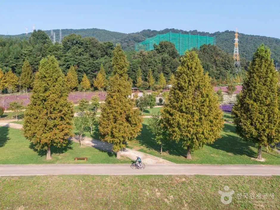
Incheon to Busan by bike is five official sections
The Ministry of the Interior and Safety publishes each route separately, with its own distance and estimated riding time. The cross-country ride chains five of them together.
- Ara
- 21 km · 1h30 — Ara West Sea Lock to the Han River lock
- Han River, Seoul
- 56 km · 3h40 — through the city to Paldang Bridge
- Namhangang
- 132 km · 8h50 — Paldang to Tangeumdae in Chungju
- Saejae
- 100 km · 6h40 — Tangeumdae to Sangpunggyo in Sangju
- Nakdonggang
- joins at Sangpunggyo and runs to the estuary barrage
Add the first four and you have 309 km of published distance before the Nakdonggang even starts.
About that 633 km
Every guide, this one included, quotes 633 km. It is worth knowing that the government does not publish that number — I could not find it anywhere on the official cycling portal.
The reason the total is awkward is the last section. The Nakdonggang route is listed at 389 km, but it starts at Andong Dam, well north and east of where the cross-country ride joins it. Its certification centers begin at Andong Dam and run down through the barrages to the estuary. The cross-country route picks it up much later, at Sangpunggyo.
So you cannot simply add 21 + 56 + 132 + 100 + 389. Subtract the Andong spur from the published 633 and roughly 324 km of Nakdonggang is what you actually ride — which is why the second half of the trip feels so much longer than the first. It is.
About 42 hours of pedalling
Those official estimates are useful because they stay consistent with each other. Add the first four and you get roughly 21 hours. Scaling the Nakdonggang’s 26-hour figure to the portion you actually ride gives about the same again.
Call it 42 hours in the saddle. Over five days that is eight and a half hours of riding a day before food, stamps, photographs and getting lost. Over four days it is a job.
Most people take four to six days. Five is the common answer.
One climb, and it is optional
Because the route follows water, it stays river-flat almost everywhere. The one exception is the Saejae section, which crosses the watershed between the Han and the Nakdong at Ihwaryeong, 548 meters. A certification center sits at the top.
That is the single sustained climb of the whole ride. A tunnel route avoids it, and taking that counts as a normal choice rather than a failure — though the pass holds the stamp, and the descent south repays the climb.
The two decisions to make before you start
When. October, if you can choose. The route is miserable in the monsoon and superb in autumn — the seasonal picture has the dates.
Which direction. North to south is standard: the prevailing summer wind helps, the climb comes early while you are fresh, and Busan makes a better place to finish than Incheon. People do ride the other way, mostly those who live in Busan.
How you get home. Decide this before you leave, because no train will carry an assembled bike back from Busan — the carriages that used to were scrapped in 2022. Bagging it for the KTX, shipping it, or the bus are the options, and all three want a little planning.
Getting the paperwork right
The stamp rally has one trap that costs people their certificate, and it is not on the road. The completion sticker is handed over in person, at one of sixteen staffed centers, or posted back to a Korean address one to two weeks later. That is fine for a resident and awkward for a visitor with a flight booked.
Our bike passport guide covers the sequence — buy the booklet first, register its number, then the app — and why the last day should be planned around opening hours rather than distance.
Practical shape of a trip
- Before you fly
- e-Arrival Card · eSIM · decide the return leg
- Day 0
- Land, get won and a transit card, ride or train to the start
- Day 1
- Ara and Han River — easy, urban, buy the booklet at the start
- Days 2–3
- Namhangang and Saejae — the scenery, and the climb
- Days 4–5
- Nakdonggang — long, flat, and more than half the total
- Finish
- Estuary barrage, then the sticker, then the bike-home problem
Accommodation causes less trouble here than on many long routes. Small towns along the rivers have guesthouses and motels, Korean riders use them constantly, and the places know what a cyclist needs. Booking a day ahead from the saddle is normal, which means you want data. Sort out a Korean eSIM before you start rather than at the first town, and our comparison covers which one.
Arriving and getting to the start is the other end of the same problem — the Incheon sequence covers the airport, and the Ara start point is reachable by subway, though bike carriage rules vary by line and by day.
At the far end, the barrage is 8.7 km west of Busan Station and 20 km from Haeundae, so the last night is worth booking in the west of the city — our two days in Busan sets out how the fare zones and the geography actually work.
Quick answers
Is the Incheon to Busan bike route really 633 km?
How many days does the Incheon to Busan bike route take?
Is there a big climb on the Incheon to Busan bike route?
Which direction should I ride, Incheon to Busan or Busan to Incheon?
Sources checked 8 August 2026. Section distances, estimated riding times and certification-center lists read directly from the Ministry of the Interior and Safety’s cycling portal. The 633 km total is the figure in general use and is not published there; the Nakdonggang portion is inferred from it, since that route’s own 389 km begins at Andong Dam, outside the cross-country line. Ihwaryeong’s height of 548 m is the standard geographical figure. Confirm current route status at bike.go.kr before riding — sections close for flood repair.