Korea's Coast in Stone: Three Rock Formations, Three Coasts
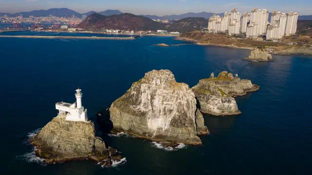
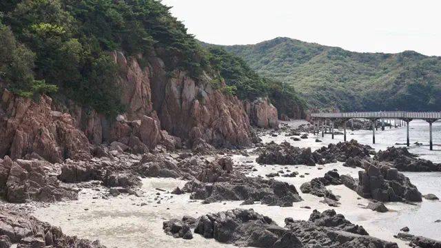
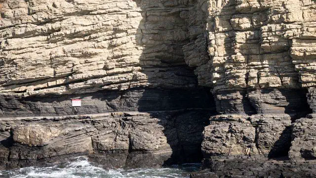
A cliff of stacked stone 'books' in the west, a solitary sea pillar in the south, jagged sea stacks in the east — three rock sites, and how to reach each one.

Photo: Korea Tourism Organization — ⓒ한국관광공사 사진갤러리-한국관광공사 이범수, Photo Korea
Tidal flats, island coastlines, and the trail network that circles the entire peninsula — starting with the stretch that begins where the mainland ends.
Korea built a walking trail around its own coastline — literally around it. The Korea Trail (코리아둘레길) links four separate routes into one loop tracing almost the entire perimeter of the peninsula: Haeparang-gil (해파랑길) along the east coast, Namparang-gil (남파랑길) along the south, Seohaerang-gil (서해랑길) up the west, and the DMZ Peace Trail across the northern border zone. Together they run roughly 4,500 km across about 250 numbered courses — nobody is expected to walk all of it, and almost nobody does.
The point where two of them meet is worth knowing about on its own. Namparang-gil ends and Seohaerang-gil begins at Ttangkkeut Tower (땅끝탑) in Haenam, South Jeolla — a 10-meter monument marking the mainland’s actual southernmost point, at 34°17'32" N. Ttangkkeut literally means “land’s end.”
Not a ranked list — each piece answers a different question, the way the Hiking section does for mountains.
The west coast is not the postcard beach coast — that is Busan and the southeast. What it offers instead is tidal range: sand that becomes a kilometer of exposed flat at low tide, and a sunset that lands directly over open water rather than another peninsula. The south coast, by contrast, barely has open coastline at all — it’s islands, bays and fishing ports the whole way, built around Hallyeohaesang National Park. Whether that is the trip you want is worth deciding before you book anything.
Checked 5 September 2026. Korea Trail (코리아둘레길) distance, course counts and the four constituent trails from Durunubi, the official trail platform run by the Korea Tourism Organization. Ttangkkeut Tower’s coordinates and its role as the Namparang-gil terminus / Seohaerang-gil start are corroborated across Korean travel reporting on the site. Individual trail, safety and transit detail is sourced and dated separately on each page in this section as it publishes.
A cliff of stacked stone 'books' in the west, a solitary sea pillar in the south, jagged sea stacks in the east — three rock sites, and how to reach each one.
1,470 km along Korea's south coast from Busan to the same tower where the west-coast trail begins. Where it concentrates, and the national park it's built around.
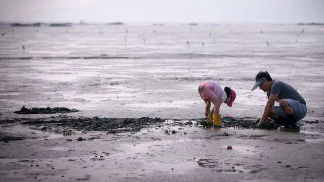
The incoming tide moves two to three times faster than you can walk. What that means for a mudflat experience, and how to check before you go.
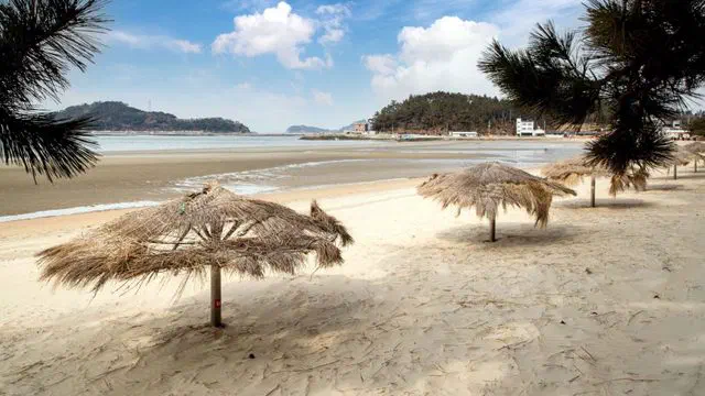
One beach near Incheon you can reach without a car, and where to go next if you do have one — sand dunes, tidal flats, and a sunset that lands over open water.
1,800 km up Korea's west coast from the mainland's southern tip, through the country's biggest tidal flats. Course 1, the Taean cluster, and what makes this trail different.